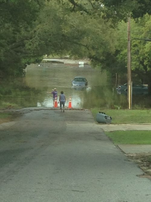
The KatRisk has a data map of our April flooding. The modeling is fascinating – check it out here.
KatRisk is a catastrophe modeling company providing comprehensive and cost effective catastrophe risk models with an emphasis on flood, including tropical cyclone related rainfall and storm surge. KatRisk models are global in scope, capturing large scale regional and continental correlations. Models have an open architecture allowing users to better understand underlying model parameterizations and when desired supplement models to incorporate specific user knowledge and views of risk.
From PRWeb about KatRisk:
KatRisk data extends beyond FEMA Flood Insurance Rate Maps by covering the entirety of the lower 48 states, providing flood depth levels in addition to flood extents, and modeling both riverine and surface water flooding in all areas.
“We are very excited about this initial release of flood risk data for the United States. We are confident that the level of detail and comprehensiveness of the data will provide unique capabilities for anyone trying to quantify flood risk. This was illustrated by the recent flooding in Pensacola that showed flood risk in areas outside of FEMA flood zones but identified by the KatRisk data,” says Dag Lohmann, CEO and Co-Founder of KatRisk.
Modeling flood risk at a 10 meter resolution with over 80 billion grid cells posed significant computational challenges. KatRisk was able to overcome those challenges by utilizing the resources of the TITAN supercomputer at the Oak Ridge National Laboratory. The hybrid GPU-CPU architecture of the Oak Ridge Leadership Computing Facility is a perfect match for the modeling approach taken by KatRisk.