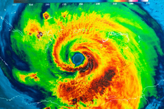
WCOA’s “Real News with Rick Outzen” covered Hurricane Helene from Monday, Sept. 23 – when it was only a tropical disturbance, to Friday, Sept. 27 – after Hurricane Helene made landfall as a Cat 4 storm. We opened the show every morning with Escambia County Public Safety Director Eric Gilmore or his meteorologist, Scottlin Williams.
We did our best to inform listeners and readers so they could prepare appropriately. Eric and Scottlin offered invaluable insights.
NEXT STORM
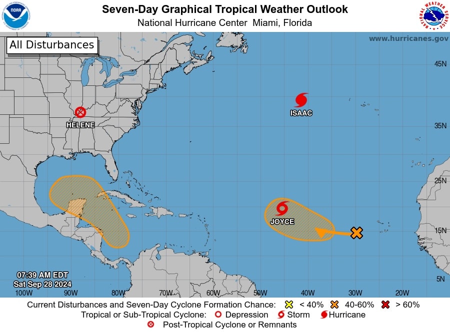
Tropical Weather Outlook
NWS National Hurricane Center Miami FL
800 AM EDT Sat Sep 28 2024
Western Caribbean Sea and Gulf of Mexico:
An area of low pressure could form over the western Caribbean Sea in
a few days. Environmental conditions are expected to be conducive
for additional development thereafter while the system moves
generally northwestward, and a tropical depression could form during
the middle to latter part of next week as the system enters the Gulf
of Mexico.
* Formation chance through 48 hours…low…near 0 percent.
* Formation chance through 7 days…medium…40 percent.
GULF OF MEXICO…
High pressure extends across the region. Moderate to locally fresh
winds are likely occurring in the northeast Gulf. Light to gentle
winds prevail over the rest of the basin. Scattered thunderstorms
are noted across the southeast Gulf, S of 26N between 84W and 70W.
Scattered thunderstorms are also occurring in the Bay of Campeche.
For the forecast, moderate winds across the northeastern Gulf
will persist through tonight. Moderate to fresh near Veracruz will
pulse nightly through early next week. Otherwise, light to gentle
winds and slight seas will prevail across the basin through early
next week.


