
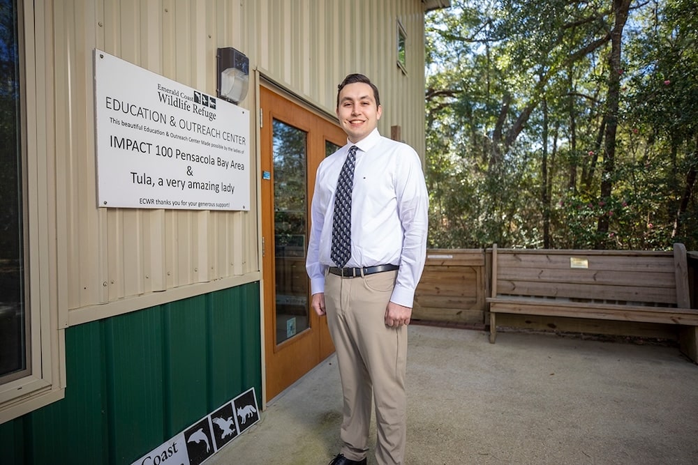
James “Brian” Barnes, a recent University of West Florida graduate, has transformed wildlife rescue efforts in Northwest Florida by applying geographic information science. Working with the Emerald Coast Wildlife Refuge (ECWR), Barnes’ Fall 2024 capstone project revealed critical patterns in wildlife rescues, offering insights into fishing entanglements, road collisions, predator attacks, and disease outbreaks.
“I reached out to Emerald Coast Wildlife Refuge, a nonprofit organization in Navarre, to partner because when I was delivering rescued wildlife to them, I noticed their intake form had a lot of raw data,” Barnes explained. “I realized there was an opportunity to use GIS. GIS is taking large volumes of raw data and organizing it into a map form to understand it better.”
HOW: Barnes analyzed 27,000 wildlife data entries collected over several months and created five detailed maps that have improved ECWR’s resource allocation and rescue operations planning. His work combined geospatial data with species information to visually represent rescue patterns.
- “The data generated is useful not just to myself but wildlife rehabbers across the state as we typically work for nonprofits and don’t often have the opportunity to have our data reviewed and compiled in one place like this,” said Michelle Pettis, Director of Animal Care at ECWR. “The distemper disease outbreak map is incredibly helpful for better understanding the spread of wildlife diseases.”
The refuge has already incorporated Barnes’ findings into educational materials designed to promote wildlife conservation and coexistence in the community.
- “The data maps we now have access to make it extremely easy to communicate to the public the impact and importance of wildlife rehab services in their communities,” noted Summer Hignite, wildlife marketing and outreach specialist at ECWR. “Anyone looking at the wildlife-vehicle collision map will instantly understand why wildlife rehabbers are so essential in our world today.”
Barnes takes pride in the project’s reception and the lasting value of his contribution. “They didn’t know GIS could be this helpful,” he reflected. “Everything is affected by its location whether we realize it or not. The power that we have through using this information is incredible.”
For more information about UWF’s Master of Science in GIS Administration degree program, visit uwf.edu/geo.