By Gary Sammons
At the behest of two city council members (Jared Moore and Jennifer Brahier), the city council voted to spend up to $75,000 from the American Rescue Plan, for a study to restrict traffic flow on an arterial road that assists the free flow of traffic from Scenic Hwy. to medical facilities, the Pensacola International Airport, very popular shopping, and entertainment sites. Plus, the fire station on Summit would be affected.
When this first went public, Council member Moore, was quoted in a PNJ article posted, on Feb. 9, 2022, by Jim Little, calling Summit Blvd a speedway, and saying he felt unsafe walking to Baskin Robbin’s to get ice cream. Council member Brahier was quoted as saying it was to “help with parking for the YMCA, and Roger Scott. She told me that personally last year, though she later backed off and implied those were just potential by-products of the effort.
During a three-day monitoring period between May 5 and May 7, the Consulting/Engineering group(s) hired by the city, established the all-vehicle average speed for the study area on Summit at just over 38 mph (The speed limit is 35mph). Granted, the statistic championed on the city’s Active Transportation website is 42.6 mph, but that average comes from just the fastest 15 percent of vehicles, and even cherry-picking the number by excluding the other 85% of vehicles, produces an average speed of less than 10 mph over the speed limit. Hardly enough to call it a speedway, and it would likely appear quite safe when compared to many two-lane arterial/commuter roads.
The data proves it’s not about speed, plus, speeding is not restricted to four-lane roads. Odds are, bottling up Summit would cause more drivers prone to speeding or in a hurry to take cut-throughs like Firestone and Piedmont, resulting in less safe neighborhood roads. You see, roads don’t speed, people do!
So maybe it’s safety. This is where the plot thickens.
On January 13, 2022, the City’s own Active Transportation presentation showed zero auto accidents and pedestrian/bicycle accidents. That’s right, zero, for the four-year period 2016 thru 2020.
If you look at that website today, 68 miraculously appeared, yet there are zero details about these new accidents. So, with a follow-up visit to the official “Target Zero Traffic Safety Dashboard,” you find this data is not supported by official crash records which still show zero accidents and only one fatal accident in the past 16 years. The fatal accident occurred in 2010.
It appears someone put forth a concerted effort to anecdotally muster up some accidents for the study. It would not qualify as good statistical, engineering, or credible data. If there is documentation, let’s see it. Let us see the police reports, accident reports, insurance claims, heck even bicycle repairs indicating there were this many accidents with a vehicle. Otherwise, I think the words we should use to describe this kind of data include biased and anecdotal at best.
If the area was dangerous, why would bike groups/clubs routinely ride the road? Surely they have at least some self preservation. The answer is because it’s safe, convenient, and they can get a ride of at least 20 miles without much difficulty.
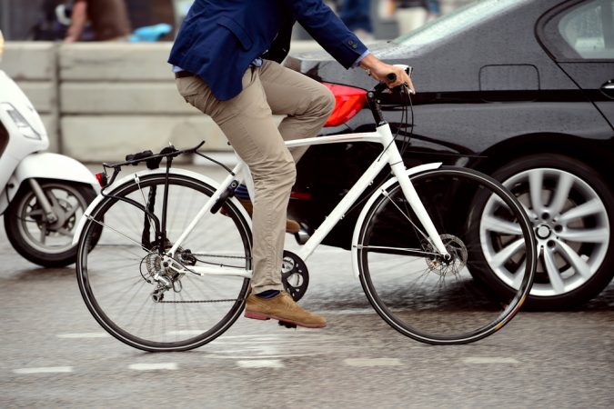
As an avid cyclist, previous runner, and current walker, who can be found on Summit Blvd at least 4 days a week performing one of those activities, and have been doing so for over 20 years, I find it safe, cycling friendly, and it has a great sidewalk for those that don’t want to ride the asphalt. All this makes me wonder if Council member Moore ever feels safe.
As a huge fan of cycling-friendly communities, and buffered cycling lanes or trails, I applaud logical approaches. I wish this proposal qualified.
A logical, tactical plan to create a more cycling, pedestrian-friendly community would be welcome, but 1.5 miles when you can use roads like Piedmont and Firestone, add miles and reduce cycling time on Summit is not logical. Walking is not an issue, you can walk the sidewalk all the way to Baskin Robbin’s if you live in Cordova Park and are brave enough to cross a very safe four-lane road, which their study says is not congested. In fact, you can go all the way around the airport on the sidewalk. There is even a walking trail that was created by a LEAP project a while back connecting to Summit Blvd.
As it sits today, it looks like a fix to a problem that doesn’t exist, caters to a small minority of the population who use the road for cycling, doesn’t serve the rest of the city’s residents very well and is a waste of our tax dollars.
But, if the council feels they need to do this, why not test it first? Cone and barrel two of the lanes off. You could probably even do it on each side of the road. Put up a few flashing signs and leave it that way for at least a month or better yet, two months. Do it in September and October, so you avoid the madness of “beginning of school year traffic” till it settles down, and the holiday traffic that kicks up in November. It’s done for runs, cycling events, and road maintenance so cyclists and drivers are used to it. If the council just has a thing for doing it, let’s get a real feel for how it works and then ask the taxpaying citizens of the city what they prefer.
Better to test it this way before doing something more permanent, like back in parking on Palafox that really never made sense, and then having to reverse course.


